


PCZ Mapper

Descriere PCZ Mapper
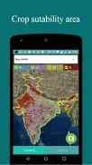
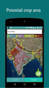
An android mobile based users’ application for crop suitability area on the basis of four categories S1 (highly suitable), S2 (moderately suitable), S3 (marginally suitable) and N (unsuitable) and crop potential area also on the basis of four categories HP (highly potential), MP (moderately potential), MgP (marginally potential) and LP (Low potential). This is for easy visualization, dissemination and sharing of crop suitability and potential area assessment of the country.
Derives information from the “Bhoomi Geoportal (https://nbsslup.in bhoomi; https://ncog.gov.in/SIS)” developed by ICAR-NBSS&LUP…..
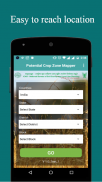
PCZ Mapper has:
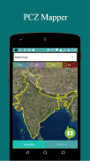
• Administrative layers (State Boundary, District Boundary, Taluka Boundary, Panchayat Boundary)
• Land management units
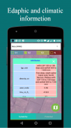
• Soil site based crop suitability assessment
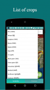
• Efficient and potential crop zones


